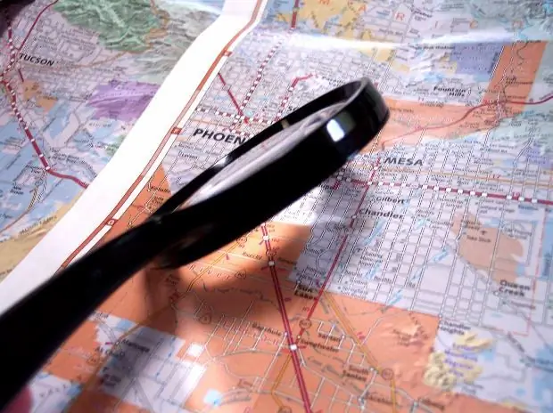
Going on a summer tourist trip on foot, by car or kayak, it is advisable to know in advance the distance that will need to be covered. To measure the length of a path, a map is indispensable. But it is easy to determine the direct distance between two objects from the map. But what about, for example, measuring the length of a winding water route?

Necessary
Area map, compass, strip of paper, curvimeter
Instructions
Step 1
The first technique: using a compass. Install a compass solution suitable for measuring length, otherwise referred to as its step. The pitch will depend on how sinuous the line is to be measured. Usually, the step of the compass should not exceed one centimeter.
Step 2
On the map, place one leg of the compass at the starting point of the measured path length, the other needle in the direction of travel. Turn the compasses sequentially around each of the needles (the movement will resemble the steps along the route). The length of the proposed path will be equal to the number of such "steps" multiplied by the length of the step of the compass, taking into account the scale of the map. The remainder, less than the step of the compass, can be measured linearly, that is, in a straight line.
Step 3
The second method involves the presence of a regular strip of paper. Place a strip of paper on the edge and align with the route line. Where the line bends, bend the strip of paper accordingly. After that, it remains to measure the length of the resulting segment of the path along the strip, of course, again taking into account the scale of the map. This method is only suitable for measuring the length of small sections of the path.
Step 4
The third method requires a curvimeter. Curvimeter is a special device designed to measure curved lines. At the base of this device is a wheel with a known circumference. When the wheel rotates, a special arrow turns on a circular scale. To measure the length with a curvimeter, set the pointer to zero, and then carefully roll the wheel of the device along the line of the winding route. Since you now know the number of revolutions of the wheel, it will be quite easy to determine the length of the segment.
Step 5
The result, obtained in centimeters, multiply by the magnitude of the scale of the map and get the distance on real terrain. Modern curvimeters have a scale adapted to take into account the scale of maps, so they are able to immediately show distances in meters or kilometers.
Step 6
The described methods are quite enough to feel more confident before a difficult and excessively “winding” journey. Enjoy your stay!


